
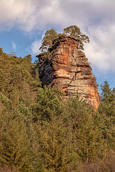
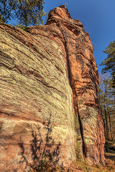
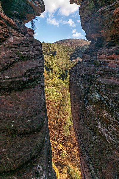
RAPPENWAND
The Rappenwand is a 44 meter high red sandstone rock at the foot of the 447 meter high Winterberg. The rock is located in the municipality Erfweiler of the municipality Dahner Felsenland. It can be reached from the hikers’ parking lot at the entrance to the Glastal or from the parking lot at the Kelterhaus. From here, you can reach the rock via the forest road and then via the slope. The Rappenwand offers various climbing possibilities for beginners as well as for advanced climbers, occasionally there are also difficult tours for experienced climbers. Also recommended is climbing at the Heegerturm on the Sorgenberg opposite the Winterberg.
Fact sheet:
Location: Erfweiler, municipality of Dahner Felsenwand
Coordinates:
- Hauptgipfel: 49°9´54.5″ 7°49´23.9″
- Fenstertürmchen: 49°9´56.3″ 7°49´25.4″
- Nordgrattürmchen: 49°10´0.3″ 7°49´28.3″
Maximum height: 44 meters
Difficulty: easy to moderate tours
Summit book: yes
4 sectors: Süd- und Westseite, Ostwand, Fensterturm, Nordgipfel
Special features: Temporary closure of the south and west side due to bird protection possible in the spring.
Hiking trails nearby
Here you can find a short summary for “Rappenwand” as download (german version).