
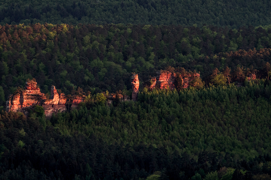
LÄMMERFELSEN
Located in the south of the Dahn district in the municipality of the same name is the Lämmerfelsen. The rock reef, which is up to 61 meters high, stands out due to its division into individual towers. Access to the sandstone rock is from the Dahner Badeparadies via a forest path and later hiking trail in a southeasterly direction to the rock. The rock face, which is about 200 meters long, offers easy to difficult tours and thus a variety of possibilities for beginners as well as experienced climbers. Further north of the Lämmerfelsen in the immediate vicinity is the Büttelfels, which is also worth a visit.
Here you can find a short summary for “Lämmerfelsen” as download (german version).
Fact sheet:
Location: Dahn, municipality of Dahner Felsenland Coordinates:
- Bockturm: 49.13826°N 7.77629°E
- Verbindungsgrat: 49.13815°N 7.77542°E
- Himmelsleiter: 49.13798°N 7.77443°E
Maximum height: 61 meters Difficulty: easy to difficult tours Summit book: yes 7 sectors: Bockturm-Hirtsfels Nordwände, Bockturm Südostseite, Bockturm-Hirtsfels Südwände, Verbindungsgrat, Theoturm, Himmelsleitersockel, Himmelsleiter Special features: Rock reef divided by towers. Theoturm as a narrow rock needle.
Hiking trails nearby
Photo spots nearby