
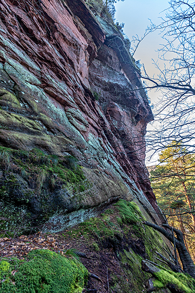
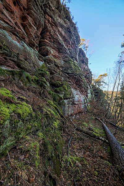
BACKELSTEIN ROCK
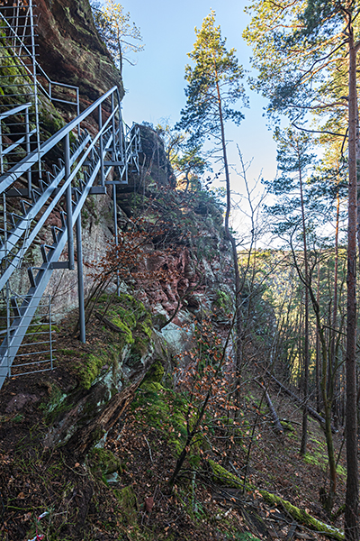
On the southwest slope of the 376-meter-high Weimersberg Rock in the local municipality of Hauenstein and the municipality of the same name, the Backelstein can be climbed. The 58-meter-high rock was once the site of Backelstein Castle, which is estimated to have been built in the 11th century as a refuge. Today, on closer inspection, only the last remnants of the castle are visible and the rock is mainly used by climbers. Access to the Backelstein is possible via a hiking trail from the outdoor pool in Hauenstein. Even if tours for beginners can be found at the rock, the majority of all routes are rather suitable for advanced climbers.


Fact sheet:
Location: Hauenstein, municipality of Hauenstein Coordinates: 49°10’55.9″N, 7°51’12.6″E Maximum height: 58 meters Difficulty: mainly moderate tours Summit book: yes 5 sectors: Vorgipfel, linke Südseite, rechte Südseite, Ostwand, Nordseite Special features: At the summit, remains of the castle Backelstein are visible. Viewpoint with views of Hauenstein and the neighboring rocks.
Hiking trails nearby
Photo spots nearby
More climbing spots nearby
Here you can find a short summary for “Backelstein Rock” as download (german version).