
LUGER FRIEDRICH
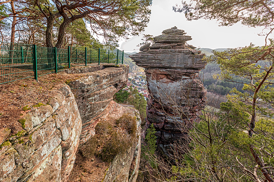
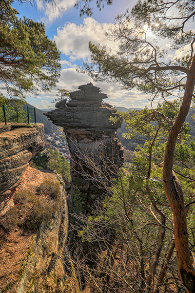
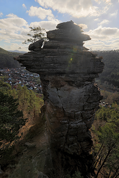
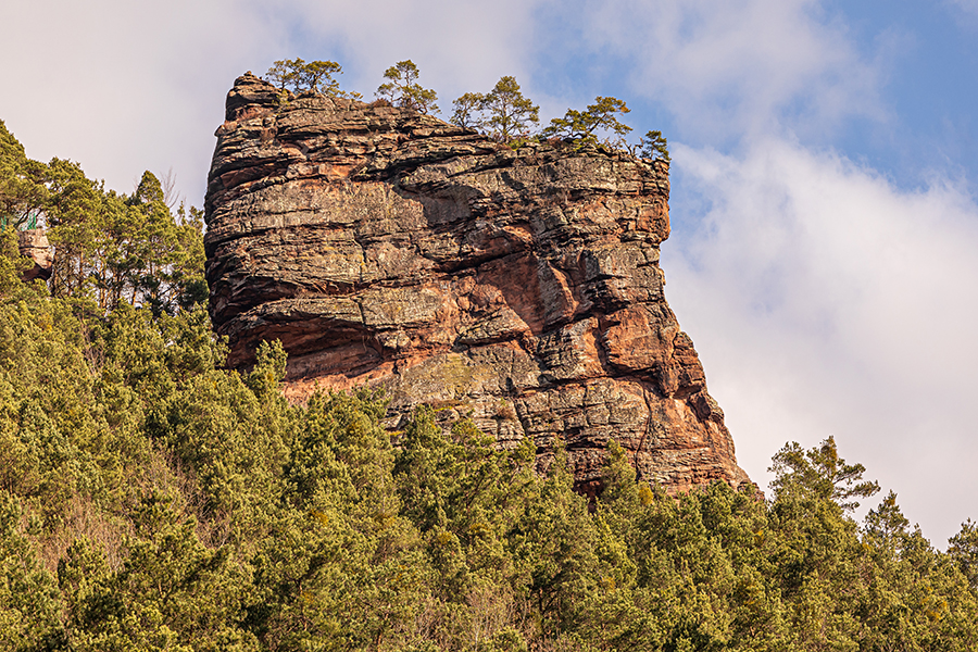
The 62 meter high Luger Friedrich, also called “Fritz” or “Friedrichsfelsen” represents the landmark of the local community Lug in the municipality of Hauenstein. The rock rises as a tower from the 450 meter high Höllenberg, whose summit is also the highest point of the municipality. The Luger Friedrich can be reached from the parking lot at the former shoe factory in the Felsenstraße in Lug via a steep hiking trail. The routes on the “Fritz” are considered to be very long and a highlight among climbers, which should definitely be experienced. Due to the degree of difficulty, the rock is mainly suitable for more experienced climbers.
Fact sheet:
Location: Lug, municipality of Hauenstein
Coordinates: 49°11’1,4″ 7°53’19,5″
Maximum height: 62 meters
Difficulty: mainly moderate tours
Summit book: present
3 sectors: east side, south face, north and west side
Special features: Long climbing routes. View of a spectacular rappelling site. Rock can heat up a lot in the summer.
Photo spots nearby
More climbing spots nearby
Here you can find a short summary for “Luger Friedrich” as download (german version).